By Bradley Real Estate
Chesterfield’s map reads like a “choose your own adventure” for daily life: an easy run to Midlothian Turnpike corridors, quick access to river views near Dutch Gap, and trail-heavy weekends around Pocahontas State Park. If you’re collecting interesting facts about Chesterfield, VA, it helps to start with how the county blends long history with modern master-planned growth.
We put this guide together the way we explain the area in real conversations—by place, by lifestyle, and by details you can actually picture.
Key Takeaways
- History: Early industry, canals, and preserved homes shape today’s character
- Nature: Rivers, reservoirs, and state-park trails anchor weekends
- Neighborhoods: Planned communities and classic pockets deliver different living styles
- Access: Major corridors connect Chesterfield to Richmond and beyond
These highlights are the shortcuts we use when describing Chesterfield’s “feel” from one part of the county to another.
A County With Deep Roots That Still Shows Up in Everyday Places
Chesterfield’s story is older than many people realize, and it still shows up in the names, landscapes, and preserved properties across the county.
Why local history feels “close” here
- County origin: Established in 1749, with a name tied to the Earl of Chesterfield
- Early industry: Falling Creek Ironworks is often cited as one of the earliest ironworks sites in North America
- Preserved landmarks: Properties like Magnolia Grange reflect the county’s long residential timeline
- River infrastructure: The James River corridor influenced how communities and commerce developed
That mix of eras is part of what makes Chesterfield easy to describe with specificity instead of generalities.
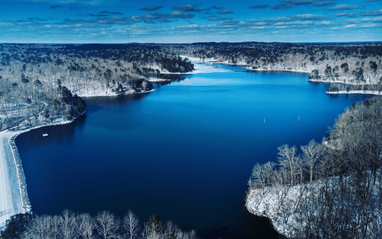
Rivers and Trails Shape Weekend Routines
Chesterfield’s outdoor life isn’t a single “park scene,” because the county spreads across riverfront, reservoirs, and large trail networks.
Where locals lean into the outdoors
- James River access: Dutch Gap Conservation Area and nearby river corridors support walking, birding, and scenic overlooks
- State-park scale: Pocahontas State Park is a go-to for long trail days, lakeside views, and easy “after work” nature time
- Reservoir living: Swift Creek Reservoir influences nearby routines like paddling, shoreline walks, and sunset drives
- Neighborhood trails: Communities like Brandermill and Woodlake are known for connected paths and lake-adjacent walks
This is one reason we can keep interesting facts about Chesterfield, VA grounded in places you can visit in an afternoon.
Midlothian’s “Old-World” Story Hides Inside a Modern Corridor
Midlothian reads as a busy, updated corridor today, yet it carries one of Virginia’s best-known early coal narratives.
Details that make Midlothian more than a zip code
- Coal legacy: The Midlothian area is tied to some of the earliest commercial coal mining in the country
- Park interpretation: Midlothian Mines Park helps connect the story to trails and open space
- Corridor energy: Midlothian Turnpike and Route 288 access shape how errands and commutes flow
- Neighborhood variety: From established Bon Air-adjacent pockets to newer subdivisions, the housing mix changes fast
These specifics help explain why “Midlothian” can mean very different things depending on the cross-streets and neighborhood layout.
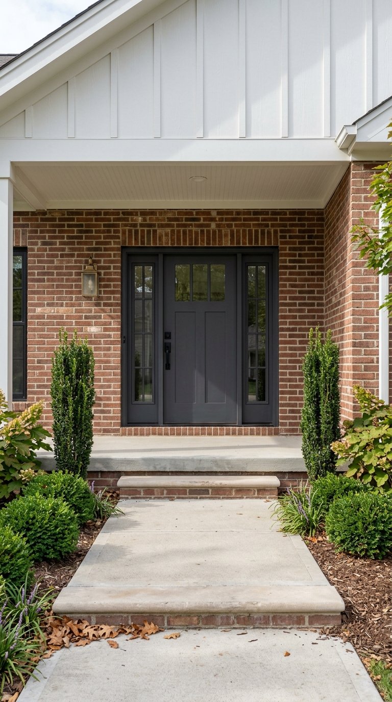
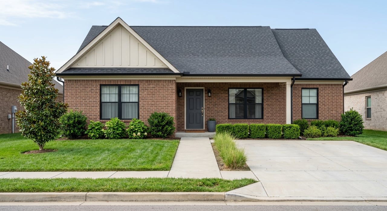
Planned Communities Here Are Designed Around Daily Life, Not Just Home Styles
Chesterfield has multiple master-planned areas where amenities influence how people use their homes: clubhouses, trails, pools, and nearby retail nodes can shape routines.
What stands out in the county’s community design
- Amenity centers: Clubhouses, pools, and sports courts often sit at the heart of neighborhood movement
- Trail networks: Connected paths make walks feel like a destination rather than a loop around the block
- Retail proximity: Many communities tie naturally into grocery corridors and weekend errand patterns
- Lot and layout differences: Side-entry garages, wider setbacks, and cul-de-sac clusters create noticeably different streetscapes
When people ask us for interesting facts about Chesterfield, VA, we often translate “facts” into how the built environment actually functions.
How We Help You Use Local Details When You’re Narrowing Down the Right Fit
Chesterfield rewards a block-by-block approach because small location differences can affect trails, commute routes, and the feel of nearby shopping.
What we focus on with Chesterfield-specific guidance
- Micro-location clarity: Identifying which side of a corridor fits your day-to-day patterns
- Amenity matching: Aligning neighborhoods with the way you actually use parks, trails, and community features
- Home style context: Explaining how construction eras and streetscapes vary across the county
- Practical access: Using key routes like Route 288, Route 150, and major corridors to frame real drive-time expectations
Our job is to make sure you use the local map wisely, whether you’re comparing Chester, Midlothian, or river-adjacent pockets near Dutch Gap.
FAQs
What parts of Chesterfield feel most “outdoors-forward”?
Areas near Pocahontas State Park, Swift Creek Reservoir, and the James River corridor tend to support regular trail and water time.
Which Chesterfield areas feel most connected for commuting and errands?
Midlothian Turnpike and Route 288 access points influence day-to-day convenience across a wide stretch of the county.
Are there historic places worth visiting before deciding on a neighborhood?
Sites like Midlothian Mines Park, Magnolia Grange, and the Dutch Gap area help you understand how the county developed and why it feels so varied today.
Contact Bradley Real Estate Today
If you want interesting facts about Chesterfield, VA that actually help you decide where to focus, we’ll map the county in a way that matches your routine, including trails, corridors, and the places you’ll use every week. Reach out to us at Bradley Real Estate, and we’ll share the neighborhood-level context that’s hard to pick up from a quick drive or a generic overview.